About
Find Out More About Draw Utilities
Draw Utilities is an online Software merged with Google Maps. We have designed an easy to use tool for Utility Locators and Utility Construction workers to draw the utilities located on site.

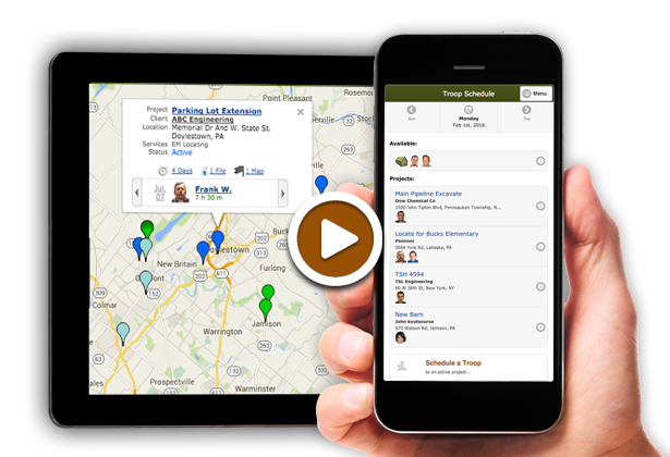
Utility Locates Drawing Software on your Smartphone
Within a couple minutes you can recreate the locates you have created in the field onto Google Maps.
-
Mobile Friendly
Our web application was designed for the utility locator in the field with their smartphone. We want them to be able to recreate their locates easily, so the mobile phone was our first design goal.
-
Free to Try
Try this powerful tool for up to 25 Free Maps. We are dedicated to making this perfect for our customers.
-
KML Importing
We can upload your KML file to create the maps for you. We have imported many different KML files from different Utility Locating devices.
Easily Create Professional Maps of Utility Locates from your smartphone or tablet.
